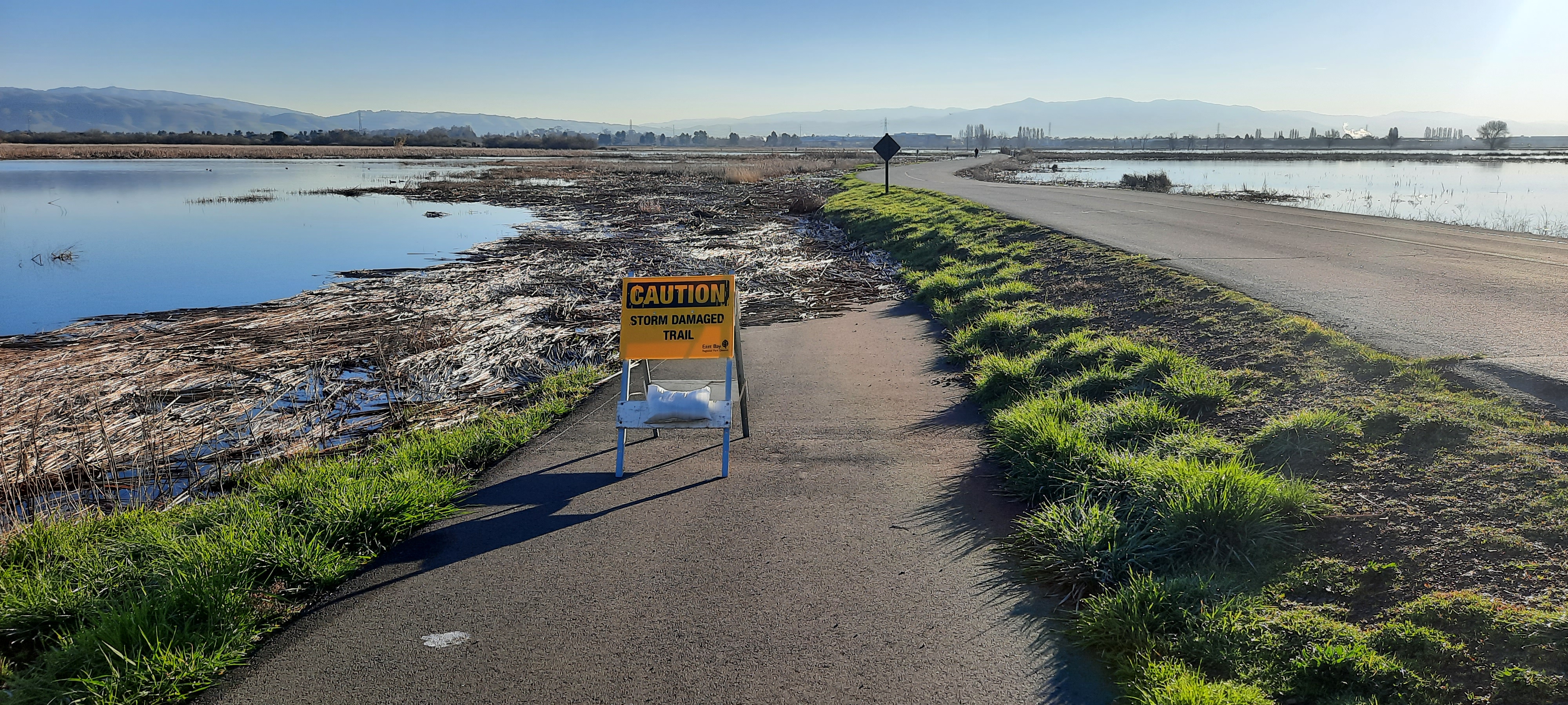
San Mateo County launched a storm-information system Oct. 30 intended to help emergency managers prepare for atmospheric river storms and warn residents earlier.
The Atmospheric River Emergency System, or ARES, is a partnership between county emergency management and the Center for Western Weather and Water Extremes at UC San Diego’s Scripps Institution of Oceanography, according to a county-issued press release.
The announcement followed the Board of Supervisors’ Oct. 20 declaration of a local emergency related to El Niño preparations, The Almanac reported.
How it works
ARES combines radar and rain gauge observations, measurements collected inside Pacific storms and information about local conditions. County officials said the information can help emergency managers identify neighborhoods at risk and position crews and supplies.
The county said it is already using the data while completing an ARES dashboard. The system supplements National Weather Service forecasts with local information.
ARES draws on the Advanced Quantitative Precipitation Information project, which combines radar observations, surface measurements and forecast models to improve precipitation and flood forecasting.
Officials announce partnership
Supervisor Ray Mueller announced the partnership alongside Reps. Kevin Mullin and Sam Liccardo, county Emergency Management Director Shruti Dhapodkar and research center founding director F. Martin Ralph, according to the release.
“Every hour of warning is an hour to move crews, guide residents and send resources where they’re needed most before the water rises,” Mueller said.
Ralph emphasized that preparation does not mean heavy rainfall is certain.
“With El Niño, coastal and tidal flooding is the greater concern this winter. Heavy rain is possible, not a guarantee, which is exactly why lead time matters,” he said in the release.
Proposed improvements to phone alerts
Mullin also announced the Reliable Emergency Alert Delivery Integrity Act.
The proposed legislation would direct the Federal Communications Commission to establish performance goals for Wireless Emergency Alerts, including delivery speed, coverage and geographic targeting. It would also require a study of translation technology for multilingual alerts.
The bill concerns emergency notifications sent to cellphones. ARES provides information for emergency planning and is separate from the county’s resident-facing alert service.
What residents can do
Dhapodkar urged residents to check emergency supplies and batteries, learn their flood risk and register for SMC Alert, the county’s primary emergency notification system.
The county release identified three high-tide preparedness windows: Nov. 21-28, Dec. 20-27 and Jan. 17-24, 2027. These are planning windows, not forecasts that flooding will occur.
Residents can review mapped flood hazards through FEMA’s Flood Map Service Center.