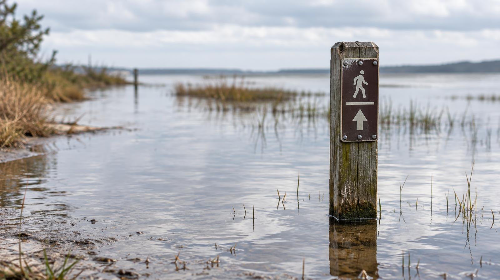
San Mateo's bay-front trails, parking lots and low-lying roads face flooding through Thursday, Oct. 1, as tides run more than a foot above normal along the Peninsula.
The National Weather Service's Coastal Flood Advisory covers all bay-front shorelines on the Peninsula and remains in effect until 5 p.m. Thursday. The agency warned of up to 1.2 feet of water above ground level in low-lying areas near shorelines and tidal waterways along San Francisco Bay.
Flooding could cut off access to some beaches and coastal trails, push water farther up shorelines than usual and close isolated roads, according to the advisory. The advisory also warns of flooding in lots and parks near the bay.
The Almanac identified Peninsula locations in the advisory's path, including Redwood Shores, Bair Island, Palo Alto Baylands Nature Preserve and Mountain View's Shoreline Park. The advisory covers all bay-front shorelines on the Peninsula, including San Mateo's bayshore.
NWS meteorologist Dial Hoang said floodwater should not reach inland or travel far up waterways like San Francisquito Creek. "If you're right along the coast, you should prepare to see some water over coastal trails or perhaps parking lots, but we're not expecting widespread road closures," Hoang told Palo Alto Online on Monday, Sept. 28, when the advisory was first issued.
Hoang said officials do not expect the flooding to reach "king tide" levels.
High tide schedule
At the San Francisco tidal gauge, the NWS expects high tide to peak at these times:
- Tuesday, Sept. 29: 1:30 p.m. (1.2 ft above normal)
- Wednesday, Sept. 30: 2:10 p.m. (1.2 ft above normal)
- Thursday, Oct. 1: 2:58 p.m. (1.1 ft above normal)
Exact timing varies by roughly 90 minutes at different points along the bay. On top of the elevated tides, an additional surge of up to 0.7 feet could worsen flooding, the advisory stated.
County parks open but urging caution
Parks will stay open. San Mateo County Parks said in a statement that facilities on both the Pacific and Bay sides of the peninsula will remain accessible through the advisory period. The agency cited remnants of Tropical Storm Odalys and Hurricane Polo driving high surf along the coast.
The county urged visitors to keep a safe distance from surf and to stay away from the edges of coastal bluffs, which can become unstable with increased water saturation.
What residents should do
The NWS recommends:
- Allow extra travel time, as some roads may close.
- Do not drive around barricades or through water of unknown depth.
- Take steps to protect flood-prone property.
San Mateo is separately hosting a community workshop on its sea level rise adaptation plan on Tuesday, Oct. 6.